Menu
- Home
- Search▼
- List▼
- Add▼
- My Relate▼
- Admin▼
ViewsWatchers |
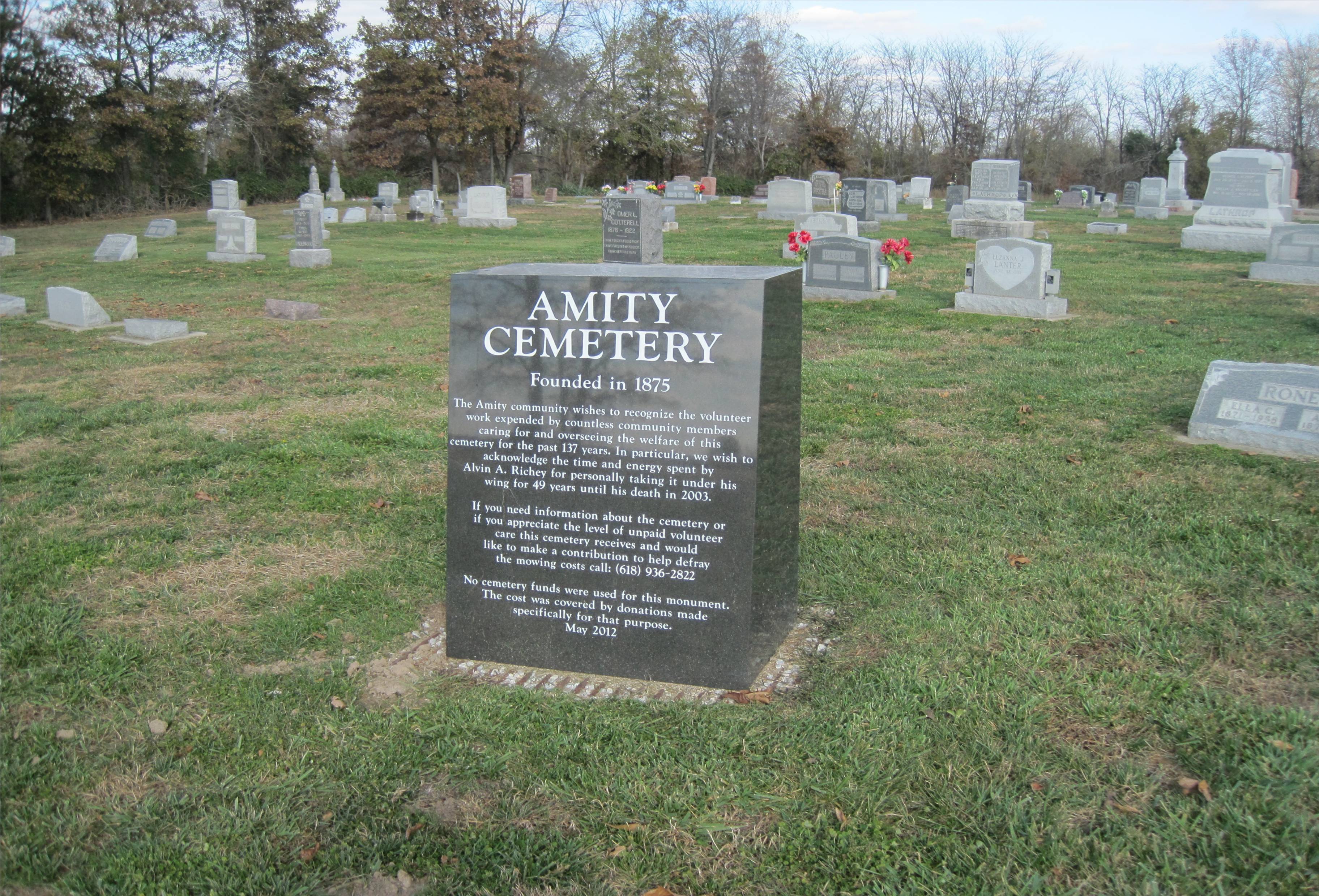
Amity Cemetery was founded in 1875.(FGrvCemIMG1) There is a Find A Grave record for the cemetery, which notes 244 interments as of July 2015.(FGrvCem) [edit] LocationThe GNIS coordinates for this cemetery are (38.7767136 N, -87.9361444 E), which are used in truncated form in the Lat Long values for this record.(GNIS) Examining the boundaries of the cemetery input from aerial imagery into OpenStreetMap in the Java tool JOSM, an interpolated center point for the cemetery was obtained as (38.776628 N, -87.9357513 E).(OSM) One narrative description of the location was included in the ILGenWeb Project: "SE Quarter of section 14; Located about 4 1/2 miles north east of Claremont on the north side of Deer Farm Lane at the intersection of Amity Road."(RichCntyCems) [edit] SourcesFGrvCem: Find A Grave: Amity Cemetery FGrvCemIMG1: Jim Michels (4 Nov 2012). http://image2.findagrave.com/photos/2012/308/CEM2185690_135207160371.jpg . Find A Grave. Retrieved 2015-07-11. GNIS: Source:United States. Geographic Names Information System (GNIS), ID 1820887. Retrieved 2015-07-11. OSM: https://www.openstreetmap.org/way/360087477. OpenStreetMap Foundation. Retrieved 2015-07-11. RichCntyCems: Source:Richland County ILGenWeb Project. Cemeteries of Richland County, IL., German Township Cemeteries. Retrieved 2015-07-11. |
||||||||||||||||
